Chance Conservationist: A Young Geographic Information Systems Expert Advancing Data-Driven Conservation in Zimbabwe
In the central part of Manicaland Province, located on the Eastern border of Zimbabwe in the provincial capital city of Mutare, a chance encounter during a conservation awareness session in secondary school ignited the zeal for nature and wildlife safeguarding in the heart of the then 17-year-old boy Walter Mupezuweni. Mutare, a picturesque city housing the iconic 7km highway stretch called the ‘Christmas Pass’ is testament of the relationship between conservation and development-as the highway meanders within the evergreen mountainous terrain, providing a scenic gateway to the Mutare Central Business District.
Drawing inspiration from his parents who are both teachers, Mupezuweni’s initial dream was to become a teacher like them. In 2010, he had his first encounter with a wildlife project when he attended an awareness session on the Cheetah, Wild dog and Climate Change Project.
Mupezuweni’s passion for teaching manifested itself as he then started a high school conservation club called, ‘The Conservationists’ together with his friends at Founders High School. The club became pivotal in raising awareness on climate change aspects and conservation earning Mupezuweni and his friends a heroic title ‘Wild n Cool Students’ with a commendation from the British Council.
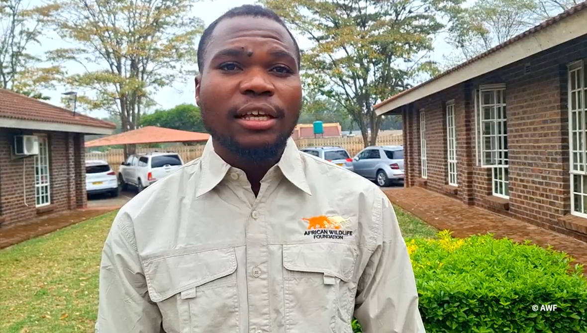
“The wild dog became dear to me due to its threatened status and the fact that it is my totem, “Chihwa (wild dog),” Mupezuweni, who is currently the African Wildlife Foundation (AWF) Conservation Planner based in Zimbabwe said.
Mupezuweni fortified his passion with academic qualifications by enrolling for a Bachelor of Science Honors Degree in Forest Resources and Wildlife Management at the National University of Science and Technology before doing a Master of Science in Forest Management and Environment. It was during this period that Geographic Information Systems (GIS) found him.
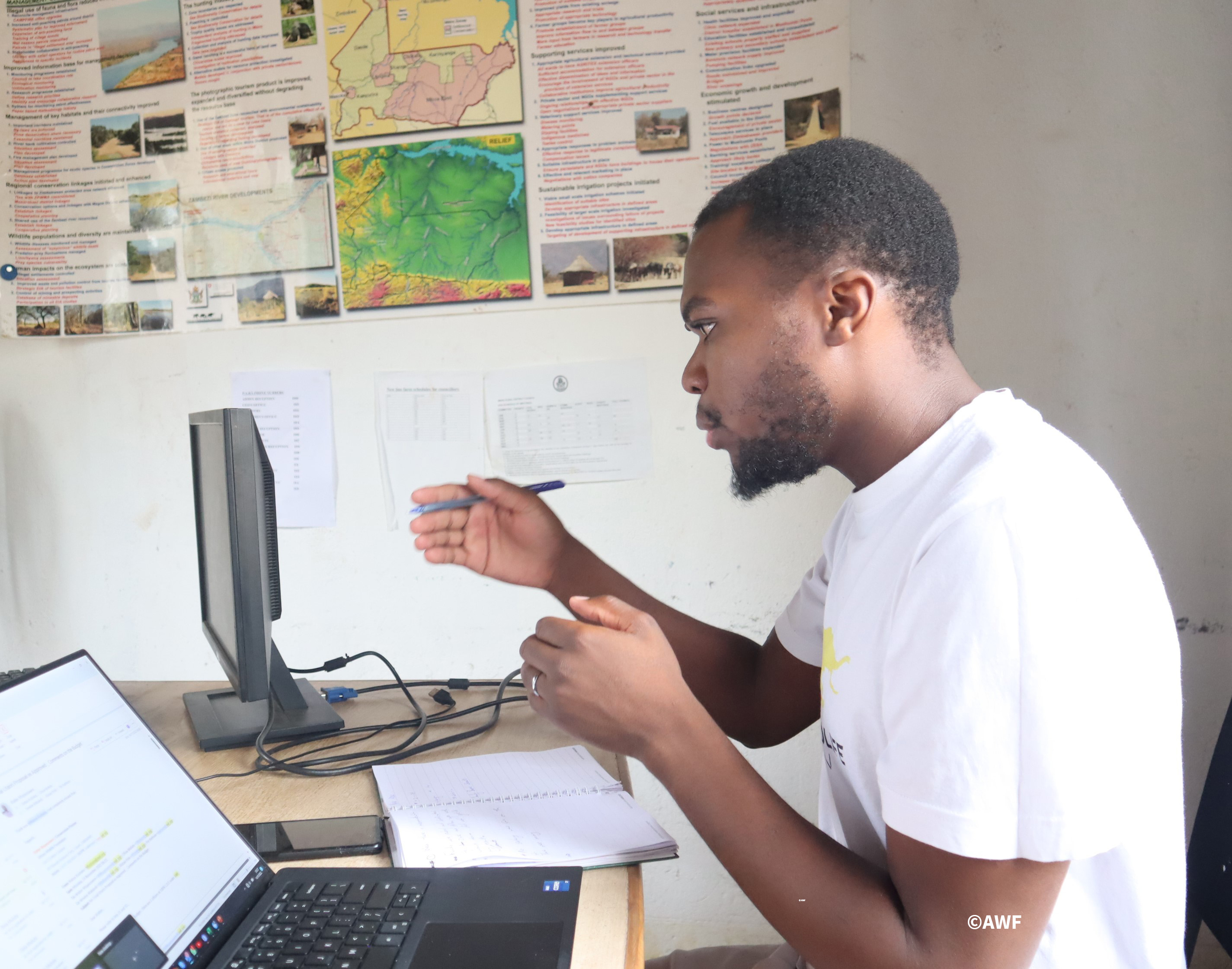
A Geographic Information System is a computer system capable of capturing, storing, checking and displaying different kinds of data found on the earth’s surface to enable people to analyze and understand patterns and relationships that exist on earth. These powerful systems combine geographic data, satellite imagery, and advanced analytical tools to provide a comprehensive understanding of the natural world and the threats faced by its inhabitants including wildlife.
From time he joined AWF in 2021, Mupezuweni recounts a number of milestones that he has achieved including leading the development of three Land Use plans for Chiredzi and Bikita Rural District Councils in the South-Eastern Lowveld and analysing deforestation trends in Hurungwe, one of the areas most affected by deforestation fueled by the need for tobacco curing wood. This was done under the USAID Resilience ANCHORS project and the 2018-2021 EU funded project ‘Partnership for Improved Anti-Poaching and Compatible Land Use in Community Lands of Lower Zambezi-Mana Pools Transboundary Conservation Area’ respectively.
“In the Mid Zambezi Valley Landscape, I am one of the personnel leading implementation of the Mbire Land Use plan (2020 -2030) through projects including the Swedish International Development Agency (SIDA) funded UTARIRI “Integrated and Adaptive Biodiversity Climate Change and Livelihoods Program” among others. Recently, I trained over 20 community wildlife scouts in spatial data collection for monitoring using Blackview cybertrackers provided through AWF programs,” he elaborated.
According to the youthful conservationist, as he grew his career in conservation, he realized the role played by local communities in achieving conservation goals and how futile, conservation efforts can be if they are excluded. His standpoint is that community led conservation is about communities having the power to make decisions about their future and conservation issues.
“ Data and visualization becomes key to inform the decision-making process in community-led programs. When visualized through GIS, this helps the community develop adaptive interventions that help in dealing with issues such as human wildlife conflict mitigation,” Mupezuweni pondered.
“GIS in conservation should no longer be treated as a subset but a whole program that one can study towards,”
His story serves as a beacon of hope, showcasing the transformative potential of GIS in wildlife conservation. From mapping habitats to tracking wildlife movements, identifying threats, and engaging stakeholders, GIS emerges as an indispensable tool in Mupezuweni's quest to protect the natural world.
In essence, Mupezuweni's journey exemplifies how a chance encounter can evolve into a meaningful contribution, demonstrating the pivotal role of technology, specifically GIS, in shaping the future of conservation.