How We Work
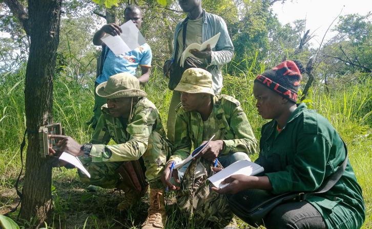
Mapping
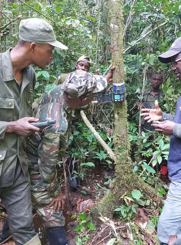
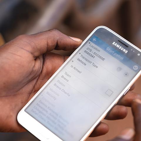
AWF equips and trains wildlife agencies and partners to use tools like patrol data collection apps, camera traps, and drones to capture observations about wildlife and threats. Wildlife agency managers use data management and reporting systems to review these field observations, along with AWF GIS models of wildlife and threat hotspots and visualizations integrating field data and satellite imagery. These tools and data help agency managers assess wildlife-threat dynamics in near real-time to generate management insights that inform agile, effective decision-making.
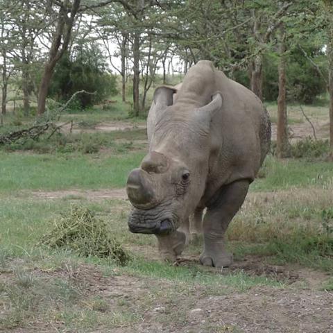
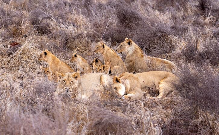
Species Monitoring
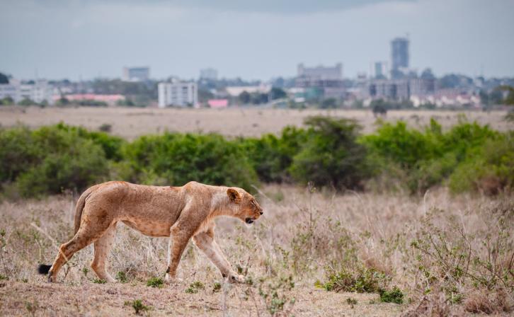
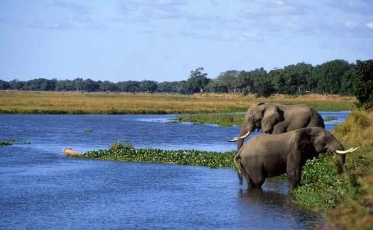
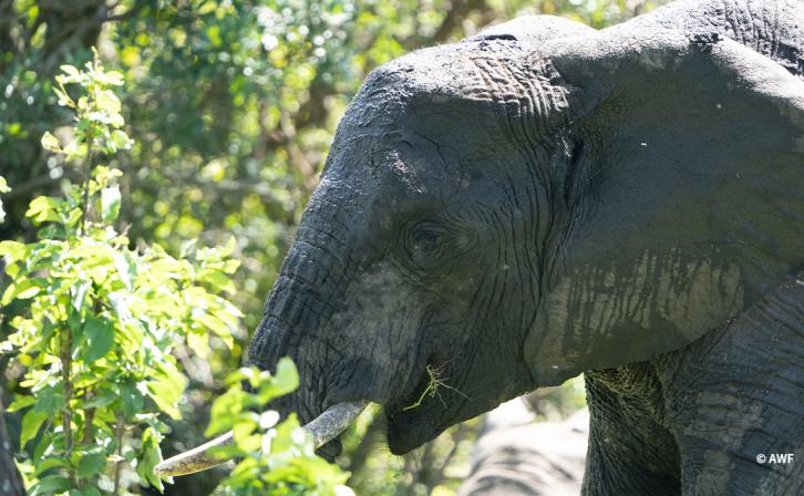
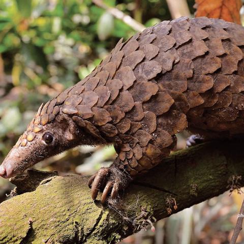
Across the landscapes where we work, AWF monitors key wildlife populations, providing critical resources and field-based training to wildlife authorities in the use of data-driven analytics and geospatial technology. We track the status of populations and assess the effectiveness of our interventions based on whether those populations are increasing, stable, declining, or relocated. Our vital tools and training also help rangers and protected area authorities manage the health of wildlife populations and prevent poaching.
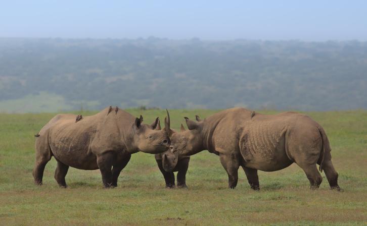
Species Action Planning
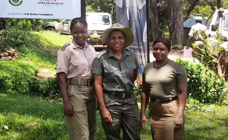
African leaders trust our technical expertise and commitment to achieving conservation outcomes that benefit people. We assist governments in developing species action and recovery strategies as well as in conducting national wildlife censuses (both aerial and ground) to collect vital data. Our work led to the launch of Kenya’s first white rhino action plan in 2022; we also helped develop action plans for elephants in Kenya, a conservation and management plan for black rhinos in Zimbabwe, and a strategy for giraffes in the cross-border Tsavo-Mkomazi ecosystem that straddles Kenya and Tanzania. We and our partners develop and implement these species action and recovery plans, which are owned by national wildlife authorities.