Mapping the natural world on Earth Day, AWF honors Esri partnership
This year’s Earth Day theme, “Invest in Our Planet,” emphasizes supporting businesses that protect our environment through their practices and climate-friendly investments. The African Wildlife Foundation (AWF) is proud to partner with companies that take their commitment to sustainability seriously. One such partnership is with Esri, a GIS mapping software company that uses maps to transform data to visualize and solve problems. While servicing multiple industries — including government, education, utilities, and healthcare professionals — Esri supports the nonprofit industry and provides essential grants that enable conservation work on the ground. For more than a decade, Esri has helped AWF lay the groundwork for community conservation in the vast natural landscapes where we work by assisting the development of sustainable land-use planning models. In addition, AWF uses Esri’s spatial tools extensively in mapping and analyses to help support conservation planning, management, and performance monitoring.
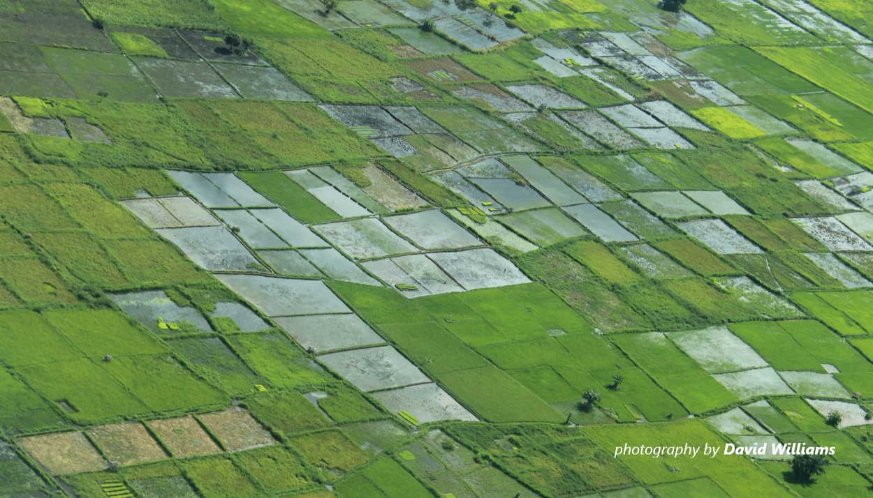
Driven by a growing human population and dynamic economies, Africa’s protected areas face significant and accelerating threats from poaching to habitat degradation. Meanwhile, wildlife authorities often lack the necessary resources to protect vast, inaccessible territory. As a result, their ‘situational awareness’ across these expanses is limited, including information on wildlife and potential threats, which hampers decisions on allocating rangers and other management assets. AWF applies Esri GIS and online mapping tools to integrate field and remotely-sensed data streams in analyses and present them in visualizations that allow for more proactive, agile management of protected areas.
AWF requires advanced and reliable field operations tools that provide up-to-the-minute data to identify shifting threats to vulnerable species and habitats in diverse landscapes encompassing agricultural, urban, natural, and conserved areas. As part of its Conservation Geography approach, AWF has integrated spatial models of wildlife and threat hotspots using Esri’s ArcGIS software. For nearly a decade, these integrations and related visualizations have enabled conservation area managers to target patrols in wildlife-rich areas that are also experiencing elevated threat levels. This analysis allows AWF and partners to identify hot spots, precisely target law enforcement, and provide conservation area managers a near-real-time, spatially-explicit picture of wildlife and related threats, dramatically aiding their situational awareness. Without Esri, our teams would literally be blind.
This critical partnership with Esri allows AWF field teams to deploy multiple technical solutions in focal landscapes and facilitate data-informed decision-making. One project AWF is working on with Esri involves the development of an online portal designed to enable rapid situational analysis of a country or landscape. This will allow users with no prior GIS/spatial tools ability to use spatial data to guide decision-making. Users can view a set of curated conservation datasets and related metrics and perform simple prioritization analyses for any location where AWF is working — this is a major game changer! For a given area, the tool profiles biodiversity, degradation, threats to flora and fauna, evidence of climate change, and available water resources, enabling users to better assess and formulate strategies to improve the management of high-value ecological areas. The portal will soon be able to accommodate assessments of nine countries where AWF works.
Esri’s commitment to conservation runs deeper than AWF’s partnership and is expressed this year through its sponsorship of the inaugural IUCN African Protected Areas Congress (APAC). Scheduled for July 18-23, 2022, APAC is the first-ever dialogue between African Protected Areas Directors from all 54 African countries, affording governments, business leaders, NGOs, local communities and indigenous groups the shared opportunity to discuss the role of protected areas in conserving nature and realizing the development goals of the continent. The Government of Rwanda will host the inaugural Congress, which will serve as a platform to declare commitments agreed upon, shift the narrative about conservation and development, and amplify solutions that are generating positive conservation outcomes. At APAC, Esri will conduct a hands-on workshop on how conservation and protected area organizations have used its ArcGIS Solutions for Conservation to improve protected area management.
David Gadsden, Esri Director Conservation Solutions, said, “We cherish our long-standing partnership with AWF because it helps to advance our mission every day. Through AWF’s holistic programs, our high-tech solutions reach into rural communities and at-risk ecosystems to help address the most aggressive threats to conservation. As the world comes to realize the critical importance of preventing biodiversity loss, Africa embodies both fundamental challenges and extraordinary accomplishments in conservation. All of this culminates with APAC, and we are honored to sponsor the Congress to connect with our partners and share our mapping solutions for protected area management and landscape level conservation planning.”
AWF Senior Director for Conservation Geography David Williams said, “It’s hard to express the overall value and widespread application of GIS mapping software in conservation initiatives in a short statement. To capitalize on our partnership with Esri, AWF staff and partners are working to build a vibrant community of practice around a standard set of Esri data collection, analysis, and visualization tools. AWF recently held a workshop in Arusha, Tanzania to build staff capacity in Esri software such as ArcGIS Pro, Survey123, and ArcGIS Online web-mapping and visualizations. The workshop also fostered dialog about common challenges and opportunities between AWF staff from three East African landscapes. Participants found it very constructive. Building a community around a common, powerful toolkit will enable cross-site learning and accelerated scaling of impactful approaches. None of this would be possible without Esri’s technology, generosity and long-term commitment.”
What’s Next? Esri’s tools have multiple applications for AWF’s work. With Esri’s assistance, AWF is developing a Spatial Intelligence Tools Hub. A work in progress, the Spatial Intelligence Tools Hub is envisioned as the one-stop shop for AWF staff to access the growing wealth of spatial data, analysis tools, and related information products to enable better, faster, smarter decision-making, design, and communications. With this advancement and the ability to pool Esri data in one place, AWF will add capacity development resources, enhance knowledge management, and improve feedback channels. With the assistance of students from the Africa Leadership University and Esri’s tools, AWF is also building capacity to measure private sector decision-making and operations of specific companies in key landscapes, which helps us to identify conservation finance investments.
AWF's goal is to increase the capacity of local governments and the civil society leaders in Africa to utilize spatial tools that harness the growing wealth of information publicly available, and enabling them to derive insight from data in such a way that adds value to their day-to-day work. AWF can help them to do so with easy-to-use, affordable tools, and standardized processes that we have been developing in partnership with Esri.
Learn more about Esri and how their products and services help support global conservation efforts