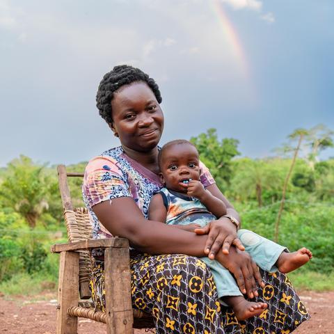
Linking Conservation to People’s Well-Being
Learn why conserving Bili-Uélé matters for local people, wildlife, and the global response to climate change.
Bili-Uélé
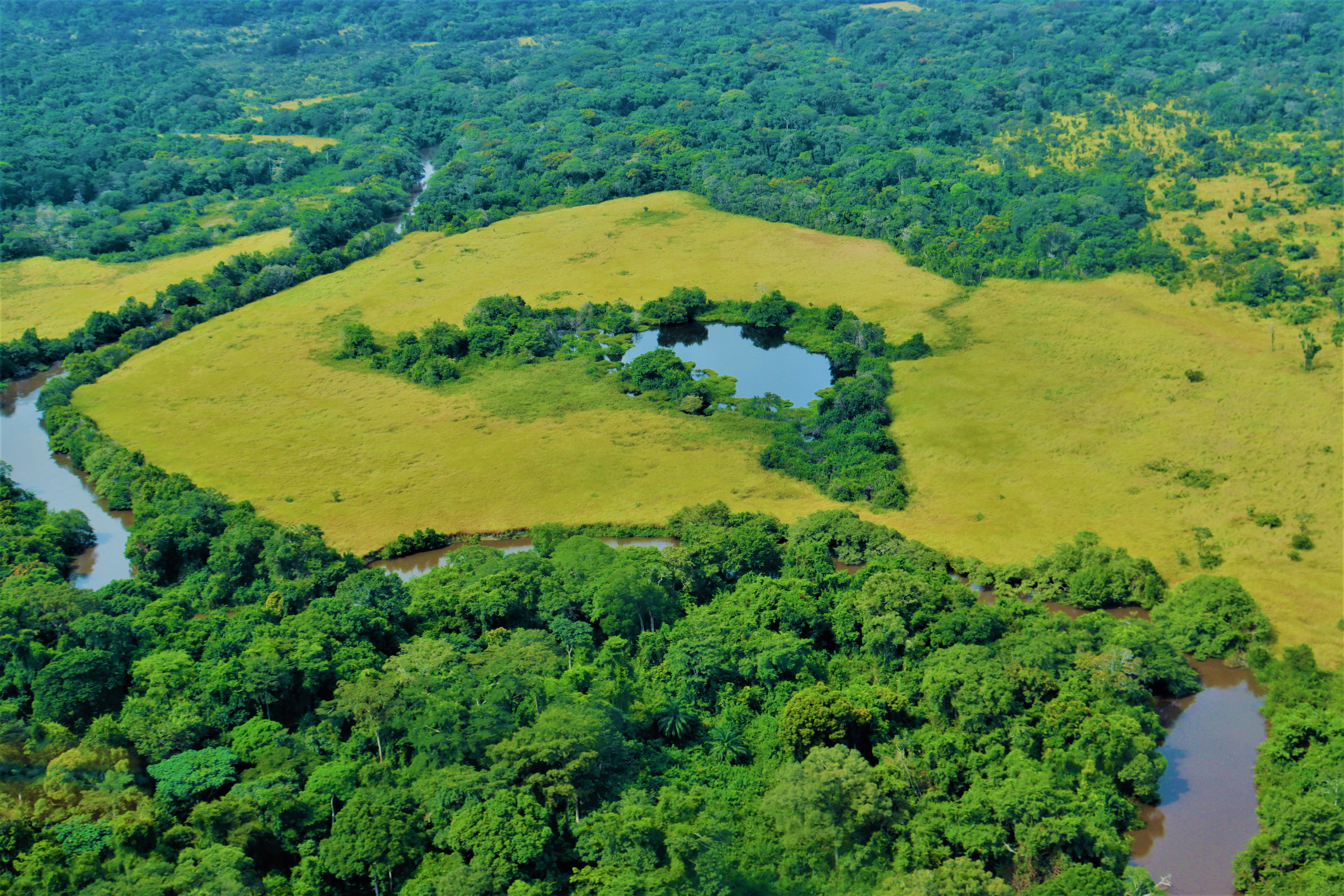
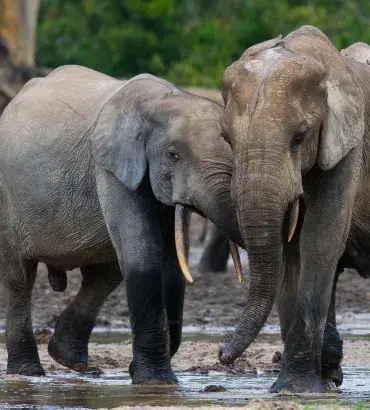
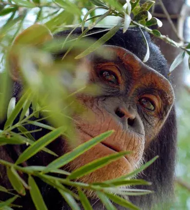
The Bili-Uélé Protected Area Complex stretches over 78,000 square kilometers and hosts significant populations of Eastern chimpanzees and forest elephants. Because this area makes up part of the Congo Basin rainforest—a vital global carbon sink, which sequesters more carbon than the Amazon—it is critical for conservation. But the country’s wildlife authority has struggled to effectively protect and manage Bili-Uélé due to a dire lack of resources and the extraordinary remoteness of this landscape.
We’ve partnered with the DRC’s wildlife authority (the Institut Congolais pour la Conservation de la Nature, or ICCN) in the Bili-Uélé Protected Area Complex since 2016. This work has been primarily supported by the European Union under its ECOFAC 6 Preserving Biodiversity and Fragile Ecosystems in Central Africa Programme.
Our comprehensive approach addresses the range of challenges and opportunities in the landscape, where we uphold a firm commitment to human rights:
- Supporting law enforcement
- Investing in protected area infrastructure
- Developing sustainable livelihoods
- Creating incentives for sustainable community practices
- Monitoring wildlife